Abstract
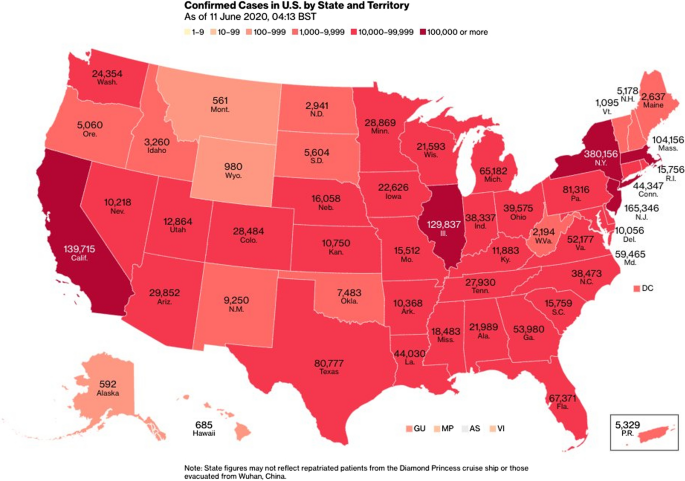
A group co-design was held in March 2021 with six blind and low-vision individuals (BLIs) from the United States. Participants were asked to discuss problems related to travel during the COVID-19 pandemic and make recommendations for possible solutions. Two probes (prototypes) of a non-visual neighborhood travel map and a non-visual COVID-19 choropleth map (a map using colors or sounds over each state to represent different values) of COVID-19 state data were shown to participants for inspiration. The participants expressed that COVID-19 had significantly increased their apprehension and discomfort associated with activities such as venturing outside, traveling, engaging with strangers, communicating, adapting to changes in familiar environments, and wearing masks. Participants gravitated towards the need for information the probes provided, and made a number of observations and recommendations for improvement. They wanted more detailed geo-referenced COVID-19 data (including by county), information related to voting, a mobile app, and more detailed building information, such as doors on the travel map.

